
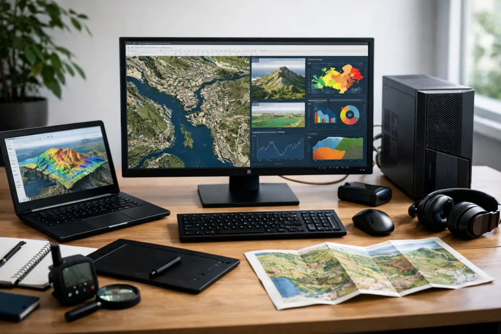
A GIS project can look simple right up to the moment a large mosaic dataset takes minutes to draw, a geoprocessing task consumes all available memory, or a 3D scene becomes too sluggish to inspect. GIS workstation requirements are not really about buying the most expensive computer. They are about matching the machine to the data, applications, analysis methods, and deadlines that define your work.
A planner reviewing local parcels has different needs from a photogrammetry team building dense point clouds, and both differ from a research group running repeated spatial models. The right system should make everyday work feel responsive while leaving enough capacity for the larger jobs that cannot wait.
Start With the GIS Work, Not a Spec Sheet
The most useful first question is not, “How much RAM should I buy?” It is, “What happens between opening a project and delivering the result?” That workflow determines where performance matters.
For many users, ArcGIS Pro, QGIS, and similar desktop applications rely heavily on fast single-core CPU performance for interactive tasks. Opening projects, editing features, labeling maps, browsing attribute tables, and many geoprocessing operations benefit when one CPU core can work quickly. More cores still matter, but they are not a substitute for strong per-core speed.
The workload changes when you add imagery processing, raster analysis, 3D visualization, LiDAR classification, network analysis, Python scripts, machine learning, or photogrammetry. These jobs may use more CPU cores, more memory, GPU acceleration, or all three. A workstation built only for basic map production can become a bottleneck quickly when the team begins working with drones, elevation data, or statewide imagery.
File size matters as much as software choice. A project connected to small vector layers stored locally behaves very differently from a project using large geodatabases, high-resolution raster collections, cloud-synced folders, and network storage. No guessing is needed when those details are part of the system design conversation.
GIS Workstation Requirements by Component
CPU: Favor Speed First, Then the Right Core Count
For general GIS production, a modern high-frequency CPU with approximately 8 to 16 cores is often a sensible range. It provides quick response in desktop GIS while supplying additional resources for processing, exports, background tasks, and multitasking.
Users doing frequent batch geoprocessing, image analysis, LiDAR workflows, or parallelized Python workloads may benefit from more cores. However, a higher-core-count processor can sometimes have lower peak clock speeds. If your work is primarily interactive mapping and editing, choosing the biggest core count available may not produce the improvement you expect.
Software behavior should decide the balance. Some tools parallelize well, some use the GPU, and some remain constrained by a single fast CPU core. This is why a workstation should be planned around the specific extensions, scripts, and processing tools your team actually uses.
Memory: Give Large Data Room to Breathe
Memory, or RAM, is one of the most common GIS constraints. When a workstation runs short of RAM, it falls back on slower storage. The result can be long waits, reduced responsiveness, and crashes during demanding processing.
For light GIS projects and office multitasking, 32GB can be adequate. For professional GIS work involving multiple applications, larger datasets, imagery, or several active projects, 64GB is a much more comfortable starting point. Teams working extensively with LiDAR, high-resolution imagery, 3D city models, photogrammetry outputs, or large in-memory analysis jobs should often consider 128GB or more.
More RAM is not automatically better if the data and software never use it. But leaving no headroom is a false economy. Memory capacity becomes especially valuable when one person has GIS open alongside a database client, web browser tabs, Python tools, CAD files, and communication software.
GPU: Essential for Some Workflows, Secondary for Others
A dedicated professional or high-quality consumer GPU can improve 3D visualization, scene navigation, supported raster operations, deep learning tasks, and certain photogrammetry workflows. It also supports multiple high-resolution displays, which can make map production and quality control easier.
For standard 2D mapping and attribute work, an extreme GPU is usually not the best place to spend the budget. A balanced midrange graphics card with sufficient video memory may be the better fit. For 3D GIS, dense point clouds, reality capture, and GPU-accelerated analysis, the GPU deserves much more attention.
Video memory is particularly relevant. A card that is fast on paper but has too little VRAM can struggle with large textures, detailed scenes, and heavy visualization. If your workflow includes 3D city models or high-resolution terrain and imagery, plan for the scale of the data you expect to use two or three years from now, not only today’s small test project.
Storage: Fast Active Storage and a Real Data Plan
GIS workstations need more than a large drive. They need a storage layout that separates speed-sensitive active work from long-term data retention.
A fast NVMe solid-state drive should hold the operating system, applications, active projects, temporary files, caches, and scratch workspaces. A 1TB drive may work for lighter users, but 2TB or more is often more practical when local imagery, project packages, and temporary processing files accumulate quickly.
Large source datasets, completed deliverables, and archives may belong on separate internal storage, a NAS appliance, or managed server storage. The best choice depends on file sizes, number of users, access permissions, and backup needs. Network storage can be excellent for collaboration, but the network itself must be fast enough to avoid turning file access into the next bottleneck.
Most importantly, storage capacity is not backup. GIS data can represent fieldwork, licenses, months of processing, and records that cannot be recreated easily. A dependable backup plan should include versioning, tested recovery procedures, and copies stored separately from the primary data.
Displays, Connectivity, and the Details That Affect Daily Work
GIS professionals often notice display quality every hour of the day. Two monitors can make editing and analysis easier by keeping maps, tables, tool panels, and reference material visible at the same time. Resolution, color accuracy, panel size, and ergonomic placement all affect comfort and review accuracy.
Connectivity should be specified early as well. Consider the number of displays, USB devices, external drives, card readers, GPS equipment, digitizers, and network connections required. A field team may need a workstation that exchanges data easily with mobile devices and removable media. A technical department may require 10Gb networking for large shared datasets. These are small details until they interrupt a deadline.
Reliability also comes from the parts people rarely see: a properly sized power supply, effective cooling, quality memory, compatible drivers, and testing under load. A workstation that performs well for ten minutes in a benchmark is not necessarily ready for an overnight raster process or a week of production work.
When a Laptop Is Enough and When a Desktop Makes Sense
A mobile GIS professional may need a laptop for site visits, field validation, presentations, and travel. A well-configured mobile workstation can handle serious GIS work, especially with 32GB or 64GB of RAM, fast storage, and a dedicated GPU. The trade-off is less room for expansion, more heat in sustained workloads, and typically less performance per dollar than a desktop.
A desktop workstation is usually the better fit for full-time office analysis, 3D visualization, long processing runs, and projects that will grow in size. It offers more memory capacity, additional storage, better cooling, easier upgrades, and more display options. Some teams benefit from both: capable laptops for field and meeting work, plus a shared desktop or server resource for heavy processing.
Avoid the Common GIS Buying Mistakes
The most common mistake is treating every GIS user as identical. A basic map editor, a utility asset manager, a drone mapping specialist, and a spatial data scientist should not automatically receive the same configuration.
Another mistake is spending heavily on one component while ignoring the rest. A top-tier GPU cannot compensate for insufficient RAM. A powerful CPU cannot overcome slow storage full of active data. A large local drive does not replace an organized backup plan.
Finally, do not assume published minimum requirements represent a productive professional system. Minimums describe what may launch the software. They do not account for real projects, concurrent applications, multiple displays, data growth, or the need to finish work without nursing the computer through every task.
Build for the Work You Need to Finish
The right GIS workstation begins with a clear picture of your applications, typical and largest datasets, storage location, processing schedule, display setup, and growth plans. That conversation can prevent both overbuying and the more expensive problem of buying a system that is already behind on day one.
At Sandia Computers, the goal is to translate that workflow into a tested system you can rely on, with a team that actually shows up after delivery. Bring the difficult project, the slow process, or the data challenge to the conversation. A well-planned workstation should let you focus on the map, model, and decision in front of you instead of wondering whether your computer can keep up.